
Grand Chute ZIP Directory
Wisconsin's official locality-alias table connects Grand Chute with five Appleton ZIPs. Four are standard street-delivery ZIP codes and one is a post-office-box class. An alias means postal data accepts Grand Chute as a locality name; it does not mean every address in that ZIP lies within the town. USPS controls the deliverable city line for a specific address.
| ZIP Code | Areas Covered | Post Office | Notes |
|---|---|---|---|
| 54911 | Appleton-area delivery; Grand Chute alias | Appleton network | Standard class; verify town boundary |
| 54912 | Appleton PO boxes; Grand Chute alias | Appleton network | PO-box class, not a street area |
| 54913 | North Appleton and Grand Chute | Grand Chute Post Office | Standard class; town station ZIP |
| 54914 | West Appleton and Grand Chute | Appleton network | Standard class; crosses local contexts |
| 54915 | South and east Appleton-area delivery | Appleton network | Alias does not prove town location |
The alias table does not confirm 54919 as a Grand Chute alias. It may appear in a delivery-network context, but a served route is not the same as a recognized locality alias. The ZIP code directory preserves that distinction. It also treats 54912 as boxes rather than drawing it as a neighborhood.
Do not infer a neighborhood name from the five digits alone. Grand Chute has dense retail, campus, apartment, and detached-home areas within the same broad postal network. A parcel query gives the land unit, while a postal result gives a delivery route. When the two labels seem inconsistent, retain both and let the town boundary decide which local office has jurisdiction.
The class assigned to each ZIP also changes what can be mapped. The 54912 entry is a PO-box class, so plotting it as if it were a street-delivery polygon would create a false residential area. The four standard entries can contain street addresses, but their accepted Grand Chute alias still does not establish municipal limits. For each result, save the exact address returned by USPS and the date checked. Postal forms can change, while a dated note explains why an older record used a different city or ZIP.
Appleton Labels, Grand Chute Land
The defining local join is Appleton postal label, Grand Chute legal town, and Outagamie County parcel. Appleton is the county seat and the hub for the courthouse, public library, newspaper archive, and many mail routes. A result that says Appleton can still belong to a Grand Chute parcel.
Keep three facts in separate columns. Record the USPS city and ZIP exactly as delivered. Record the legal municipality shown by the parcel map. Then record the custodian, such as Outagamie County for deeds and taxes or Grand Chute for a municipal case or permit request. That prevents postal geography from being mistaken for political geography.
Local key. A valid Appleton mailing address may identify land inside Grand Chute, but only a boundary or parcel source settles the municipality.
Verify a Grand Chute ZIP
Use the USPS ZIP Code Lookup for the current delivery form. Its address route takes a street address, city, and state, with unit information when needed. A result can provide the standardized city, state, ZIP, and ZIP+4. It confirms mail routing, not who lives there.
| USPS field | Local use |
|---|---|
| Street address | Enter the number and full street name. |
| Unit | Add an apartment or suite when applicable. |
| City | Try the delivered Appleton label. |
| State | Select Wisconsin. |
| Result | Save city, five-digit ZIP, and ZIP+4. |
The Grand Chute Post Office is at 311 N Casaloma Dr, Appleton, WI 54913, and lists 920-993-9444. Verify retail hours before visiting because service windows can change.
USPS verification should come before a county search when a street spelling, directional, suffix, or unit is uncertain. It can resolve the delivery form without making any claim about the person associated with it. If USPS recognizes the address under Appleton, keep that result intact when searching voter information. MyVote instructions call for the city that matches the mailing address and the full street name, including a directional when it applies. Ascent uses a different convention and tells searchers to omit the directional and street suffix. The same address may therefore need two valid input forms.
Search Grand Chute by ZIP
No official source found in the research provides a free, complete resident list filtered by ZIP. Outagamie Ascent accepts parcel ID, address, or owner name, but county instructions do not document a ZIP-wide resident filter. MyVote checks one registration or address. Badger Voters supports a paid file ordered by municipality or ward, subject to protected-record exclusions and possible custom work.
- Standardize the delivery address with USPS and save the Appleton city label, ZIP, and ZIP+4.
- Search Ascent by street number and name, omitting direction and suffix as county instructions require.
- Open the red parcel number and compare situs address, owner, mailing address, and legal description.
- Use the parcel map to test whether the land falls inside Grand Chute.
- Use MyVote for a personal registration check or review Badger Voters rules for a lawful file request.
After narrowing the route, the Grand Chute street directory supplies the address-level workflow. It also explains why an owner mailing address cannot stand in for a household roster.
Read Grand Chute Parcels
Outagamie County keeps the parcel roll, while Grand Chute is the county's address-assignment exception. The county E911 grid uses about 400 address points per mile from southeast toward north and west, yet the town assigns its own numbers. Postal, parcel, and emergency-address data must therefore be checked together.
The Outagamie Ascent search is the property starting point.
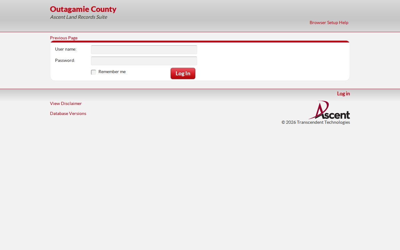
Search one method at a time. For an address, enter its number and street name without a direction or suffix, then open the red parcel number.
The tax detail may show a nine-digit parcel ID, owner, assessed and fair-market values, tax items, mailing address, and short legal description. A situs address is the physical site. The mailing address is where notices go and may differ from the site, so neither field alone proves occupancy.
Parcel numbers should be entered without spaces or dashes. If the owner-name route is used, enter first and last name and avoid mixing it with an address query. A returned tax bill may omit some co-owners because display space is limited. It may also send notices to a different ZIP through a forwarding address or a valid care-of address. That second ZIP describes correspondence for the owner of record; it does not relocate the Grand Chute parcel or show that the owner lives at the mailing destination.
Map Grand Chute ZIP Edges
The county parcel layer settles land identity more precisely than a ZIP outline. Its service supports identify, query, and export functions and exposes parcel polygons. Use it to see whether a delivered Appleton address falls within Grand Chute, then treat the owner field only as property evidence.
The Outagamie open parcel layer exposes the mapped tax parcels.
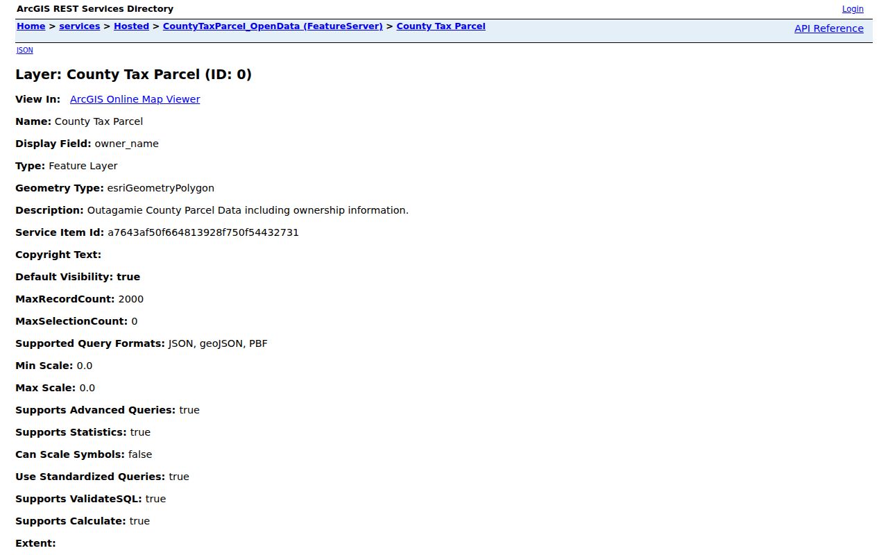
Parcel geometry supplies the boundary test that a postal alias cannot. The Grand Chute GIS page is the town's route to property information.
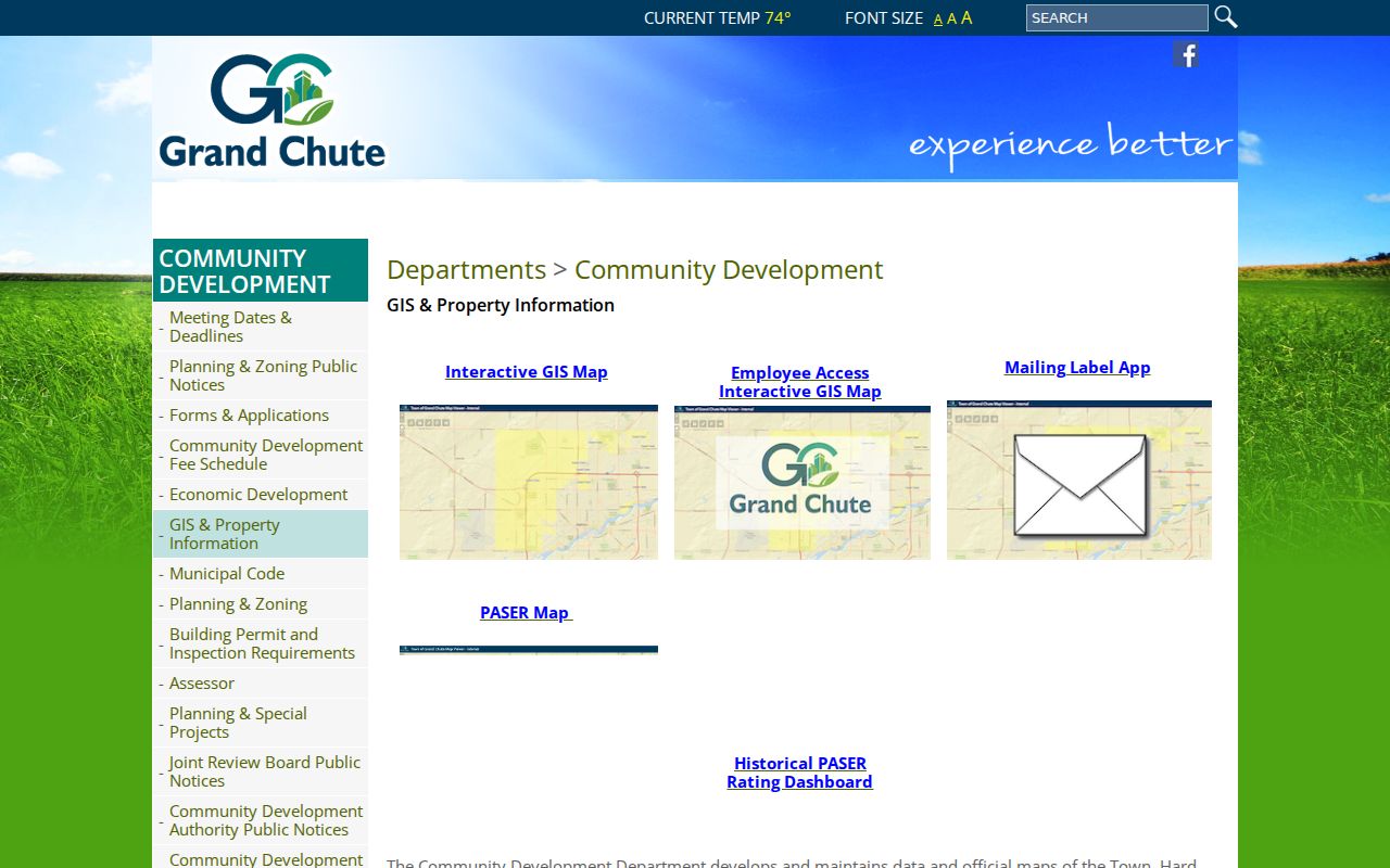
Together, the county service and town page identify the custodian for the next parcel or address question.
Map layers can add context without adding residents. County services include owner-view parcels, tax parcels, zoning, flood information, Public Land Survey System references, and historic aerial imagery. A parcel polygon can be selected and compared with adjacent land, but a nearby polygon is not proof of a social relationship or shared household. Export only the fields needed for the address question, note the service date when available, and return to the recorded document if parcel boundaries or legal descriptions have changed.
Use Each Address Key
Each system needs a different key. USPS works from a delivery address. Ascent accepts parcel ID, street address, or owner name. LandShark follows grantor and grantee names, document numbers, tracts, and legal descriptions. A grantor transfers property; a grantee receives it. A plat is a recorded map showing lots, blocks, roads, and easements.
When an older address differs from today's form, carry the parcel ID and legal description into the deed or plat search. Never assume a modern ZIP existed in an early record. The 1901 Bunn & Ferry directory has both name and street sections and explicitly includes Grand Chute, but each historical address still needs a dated map or parcel cross-check.
Older Grand Chute research should also test Appleton, Outagamie, township wording, and nearby community names. The 1920 federal bulletin counted the town at 2,018 people, compared with 1,849 in 1910 and 1,779 in 1900. Those figures show how rural the early address setting was compared with modern Grand Chute. A present-day street number, ZIP, or subdivision label may not lead directly to an early household. Plat books, a matched legal description, directory street pages, and newspaper dates can bridge the gap without inventing a street-renumbering year.
Grand Chute ZIP Limits
The alias ZIPs cover postal service associated with Appleton and Grand Chute, not five neat town districts. The 2020 Census counted 23,831 Grand Chute residents and the 2024 estimate was 24,759 across 22.80 square miles. Those town totals cannot be split among ZIPs without a matched geographic dataset.
The town's daytime population is far higher because Fox River Mall, the retail corridor, and Fox Valley Technical College draw visitors. A ZIP hit tied to a shop, school, permit, or incident can identify a place rather than a household.
Census context reinforces the need for address-level checks. Grand Chute had about 10,930 households in the 2020-2024 estimate window, with owner occupancy at 50.8 percent. Those figures describe the town as a whole. They do not identify a household, show how many residents fall in one ZIP, or turn a property owner into a current occupant. The town's mix of homes, apartments, retail sites, and institutional parcels makes a raw ZIP count especially easy to misread.
- ZIP
- A five-digit USPS routing area that may cross municipal lines.
- ZIP+4
- Four added digits that narrow delivery to a block, building, or route segment.
- PO-box ZIP
- A ZIP for post-office boxes rather than a mapped street area.
- Carrier route
- A mail-delivery path within a ZIP, not a legal boundary.
Use the sequence USPS address to town boundary, then Ascent parcel, then LandShark legal description when a ZIP code directory result needs strong proof.