
Grand Chute Neighbor Record Layers
The immediate block is best read as layers. Outagamie GIS defines parcel edges and adjacency. Ascent shows the owner and tax details attached to each parcel. MyVote checks one voter or one address at a time, while a paid Badger Voters file supports a broader election-data question subject to protected-record exclusions. Older directories and newspapers add dated context. None of these sources identifies every person inside every building, so looking up your neighbors requires a clear line between owner, voter, historical occupant, and present resident.
| Source | What It Shows About a Block | Access |
|---|---|---|
| Outagamie owner-view GIS | Parcel polygons, owner layer, nearby lots, and public map context | Online identify/query/export; Town Hall map requests |
| Ascent tax roll | Owner, parcel ID, situs and mailing addresses, values, legal description | Free parcel, address, or owner search |
| MyVote Wisconsin | One registration match or address-based polling context | Name and birth date, or full address lookup |
| Badger Voters | Released voter fields grouped by municipality, district, or ward | Paid CSV order with protected exclusions |
| Town records | Permits, code matters, plats, streets, and public project material | Focused open-records or map request |
| Historical directories | Dated people, businesses, institutions, and street entries | Library scans, microfilm, and staff help |
An owner with a matching mailing and situs address may suggest owner occupancy, but the inspected county sources do not promise a public homestead flag on every parcel. A voter match confirms a registration record, not the full household. A historical directory can list a business or rooming address. Keep source, date, field, and meaning separate before associating any name with nearby people.
Draw the Grand Chute Block
The official Outagamie owner-view service supports identify, query, find, and export operations on parcel polygons. Locate the target address, zoom until the lot lines separate, and click the parcels that actually touch or face the target. Record each parcel ID before opening tax detail. Do not use a loose radius as proof of neighborhood membership. Roads, large commercial tracts, institutions, vacant land, and parcel splits can make the closest polygon a poor match for the social block.
The captured Outagamie tax-parcel layer exposes polygon and owner-field query capability.
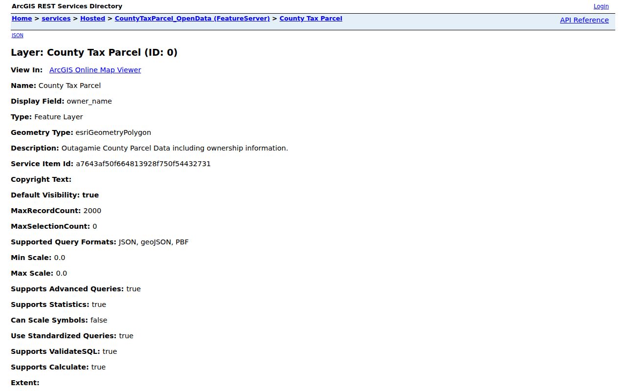
That layer supplies the block geometry; it does not establish who lives inside a mapped building.
Other county layers add zoning, floodplain, PLSS sections, historic aerial photography, and cadastral context. They can explain why parcels differ in size or use. Grand Chute's retail corridor and major institutions also raise its daytime population, so a place record near a commercial parcel is not automatically a resident record.
Map Grand Chute Neighbors Nearby
Move from map to record one parcel at a time. This keeps a block lookup narrow and auditable. The process is shorter than a full named-street chain because the goal is the lots immediately around one point, not every address along the road.
- Find the target in Outagamie GIS and note its parcel shape, frontage, road, and parcel ID.
- Select only adjacent or directly facing polygons. Log each parcel ID and visible land-use context.
- Open each ID in Ascent. Record the owner, situs address, mailing address, and legal description.
- Mark mailing and situs matches as a clue, not proof. Note parcels that are vacant, commercial, institutional, or held by an entity.
- Use MyVote or a historical source only when the question calls for that separate record layer.
For every address on the full road, use the Grand Chute street directory workflow. That broader task adds deed-chain and street-browse steps that would blur an immediate-block search.
Check Grand Chute Parcel Owners
Ascent accepts one search method at a time: parcel number, street number and street name, or first and last owner name. Enter parcel numbers without spaces or dashes. For a street search, omit directional and suffix wording under the town's published instructions. Open the red parcel-number result and compare its parcel ID with the map log. The detail may show owner, situs address, mailing address, legal description, assessed and fair-market values, taxes, special assessments, and credits.
A tax bill may omit co-owners for space. Mailing data can point to a business, care-of address, or destination outside the parcel. Credits are assessment evidence only; they are not a complete occupancy statement. This is why a list of parcel owners should never be retitled as a list of all Grand Chute neighbors.
The captured Ascent search shows its distinct parcel, address, and owner routes.
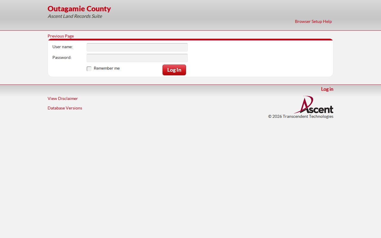
Using the parcel ID gathered in GIS gives the cleanest join between a nearby polygon and its tax record.
Grand Chute Assigns Local Addresses
Grand Chute is an important exception in Outagamie County's addressing system. The county maintains parcel, tax, GIS, and legal-description records, but the town handles its own address assignment. The Town Community Development office is therefore the proper local channel for a new-address question or a mismatch involving a street, plat, or as-built plan.
The Grand Chute GIS and property page lists hard-copy maps and drawings available by request, including certified survey maps, plats, streets, water, sanitary sewer, stormwater, as-built construction plans, and district boundaries.
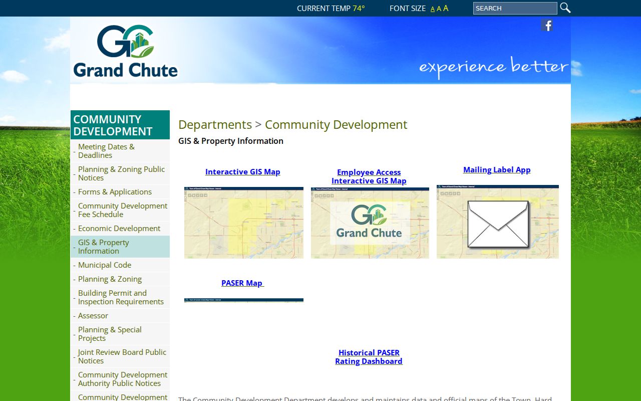
This town-and-county split explains why one block question may require both the local map desk and the county parcel service.
Postal labels add another layer. An Appleton city line can still describe a place physically inside Grand Chute. Treat USPS wording as delivery geography, then use GIS and town boundaries to confirm the legal municipality.
Grand Chute Voters Are Separate
MyVote Wisconsin is designed for a single registration or address question. Its name route requires first name, last name, and birth date. The address route uses street address, unit, city, and ZIP, and returns polling and election context for that address. It does not expose ballot choices or produce a public roster of every person on a Grand Chute block.
The captured MyVote lookup shows the official name and address pathways.
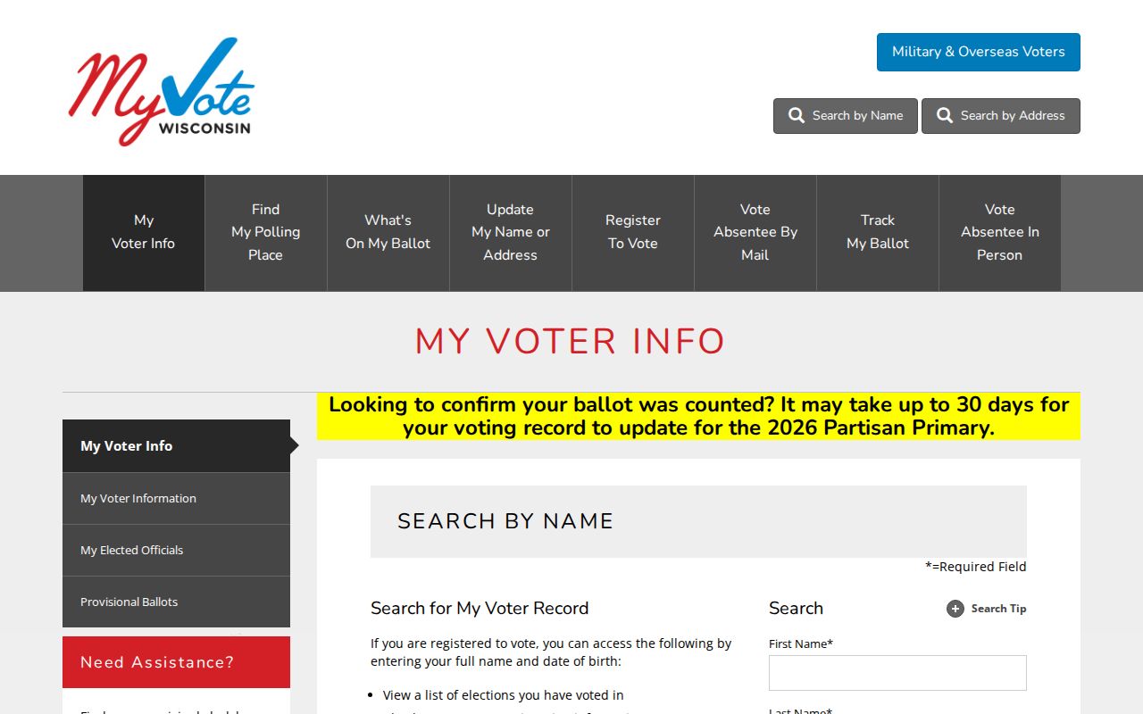
A match should be read as voter-registration information, not proof of everyone currently living at the property.
For a larger electoral question, Badger Voters provides a downloadable CSV. The base price is $25 plus $5 per 1,000 names, rounded, with a stated $12,500 cap. Released fields may include name, supplied address or contact data, districts, and participation back to 2006. It excludes birth dates, driver-license numbers, Social Security numbers, party preference, ballot choice, and protected voters.
The captured Badger Voters FAQ documents those fields, exclusions, and order terms.
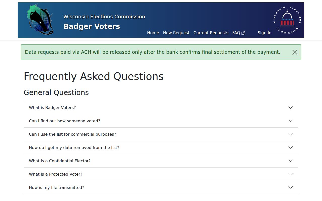
Current municipality, district, and ward boundaries govern the ordinary file, so historical block research needs a different source.
Request Grand Chute Block Records
No public Grand Chute permit or code-case lookup was found in the inspected sources. Lead with the fallback: send a focused request to the town records custodian. Identify the street segment or parcel IDs, record type, subject, and date range. Permit applications may include owner, mailing address, parcel, legal description, contractor, and project dates when retained and releasable. Code files may have redactions or withheld material.
The town accepts written requests under Wisconsin Public Records Law, Wis. Stat. sections 19.31-19.39. The policy says a request need not use magic words and a requester generally need not identify themselves or state a purpose, although enough detail is needed to locate the record. Town copy rates include $0.25 per page, while staff time, shipping, or location costs may apply under the published policy. Ask for the segregable public portion if part of a file is withheld.
Town Community Development
Ask for permit, code, address, plat, street, and hard-copy GIS material by parcel and date range.
Outagamie Real Property Listing
Use county staff for parcel mapping, legal-description, and addressing records outside the town's local assignment role.
Grand Chute Clerk
Route a public-record request to the named custodian when no online index exists.
Utility delivery and hookup data is not a resident directory. No official town-wide utility-hookup index or school-zone resident list was found, so do not infer nearby households from those systems.
Community Records Around Grand Chute
No verified official neighborhood-association roster or town-wide HOA directory appeared in the source set. That absence should remain explicit. Do not invent association names, claim access to member lists, or treat informal social accounts as an official block directory. A private HOA roster, church list, or civic-group directory may be limited to members and governed by its own rules.
For historical community context, Appleton Public Library's Jabas Collection offers city directories, plat maps, yearbooks, Sanborn maps, photos, and newspapers. Fox Valley Memory and the Appleton Memory Project add digitized directories and building material. The 1901 Bunn & Ferry volume includes Grand Chute and a street section, but an entry can name a business, institution, or rooming place rather than a family.
Other institutional leads include the History Museum at the Castle, UW-Green Bay Archives and Area Research Center, Appleton Historical Society, and Wisconsin Historical Society. Ask each catalog for the address, subdivision, organization, and date. No source promises a current private roster.
Note: Community archives can describe a block's past, but they should not be stretched into a list of present Grand Chute neighbors.
Compare Grand Chute Neighbor Tools
Official records and commercial neighbor tools serve different roles. County and town systems disclose who keeps a record, what field was recorded, and where to request correction or a copy. Commercial tools combine data from changing sources and may suppress context, dates, or distinctions between owner and occupant. Use the category only as a lead, never as the final word.
| Source type | Useful for | Key limit |
|---|---|---|
| Official parcel and tax rolls | Mapped land and owner of record | Not a household roster |
| Official voter channel | A specific registration or released election field | Protected voters and sensitive fields excluded |
| Town record request | A defined permit, plat, code, or project record | Requires a focused subject and may be redacted |
| Commercial compilation | Possible spelling or address leads | May be stale, merged, or unsupported |
For a false official record, contact its custodian with the record URL and incorrect field. For a commercial listing, use that provider's suppression procedure and recheck later. Wisconsin has no one switch that removes a person from every public record.
Protect Grand Chute Neighbors' Privacy
Renters, children, guests, and other household members are not reliably indexed by parcel records. Wisconsin Safe at Home, under Wis. Stat. section 165.68, gives eligible people facing safety risks a substitute legal address and mail forwarding. Confidential-elector and protected-voter rules can keep an actual address out of voter releases. Those safeguards are not gaps to work around.
Keep a block worksheet private and narrow. Save parcel IDs when the land is the subject, minimize copied names and addresses, and do not publish a resident list. Wis. Stat. section 947.013 addresses harassment, including conduct involving personal information. Immediate safety concerns belong with law enforcement, not a crowdsourced search.
Lawful use. Look up Grand Chute neighbors for civic curiosity, reconnection, or personal safety awareness. Never use public data to watch, threaten, harass, or harm anyone.